Connected Vehicles
Framework for Mobile Data Collection
Nicholas Felker

Overview
- Depth sensor to record potholes
- Mobile application to collect data
- Remote backend to store and view data
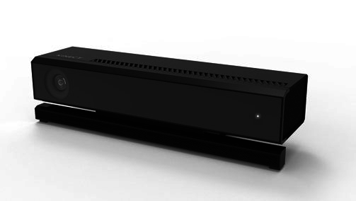
Depth Sensor
- Examined depth cameras
- Microsoft Kinect for XBox 360
- Microsoft Kinect for XBox One
- Cheap
- Powerful
- Color, Infrared, Depth
- Windows only
- Needs high-level graphics
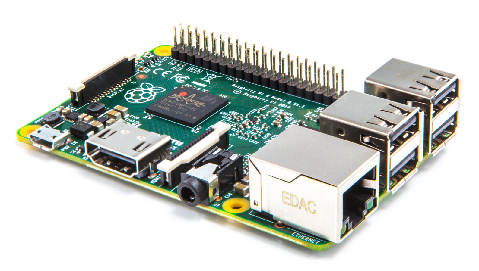
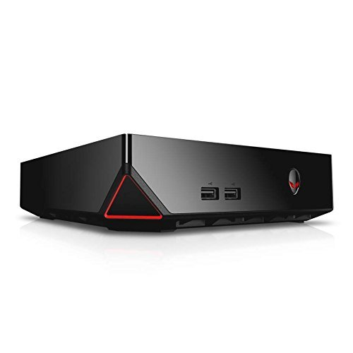
Final Hardware
- Alienware Alpha Desktop
- 500GB SSD
- NVIDIA Graphics Card
- Bluetooth 4.0
- 16GB RAM
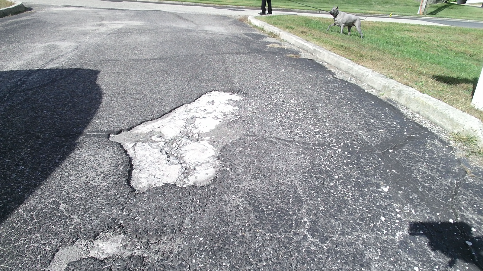
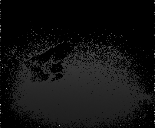
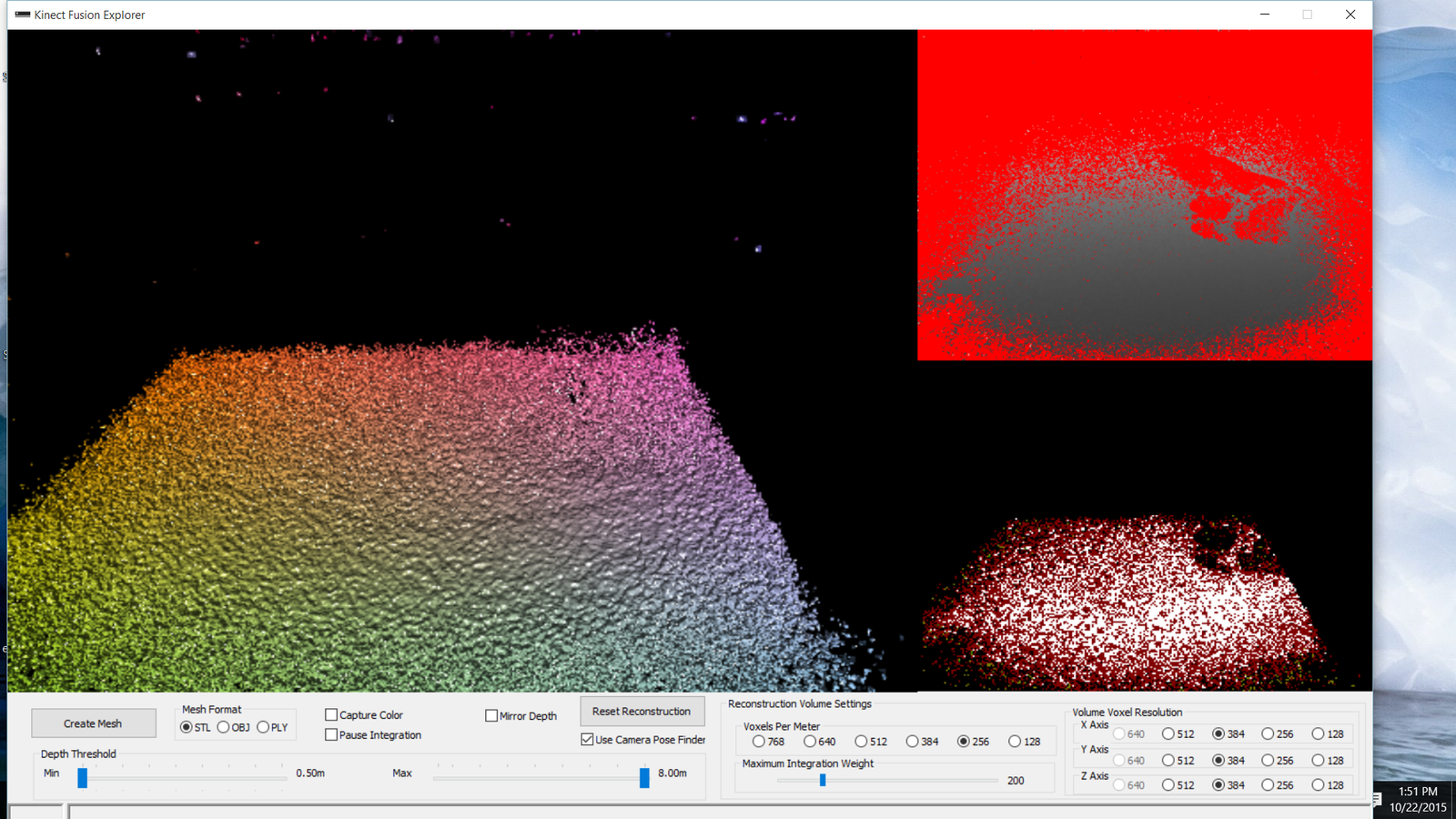
Test Images
- Color
- Depth
- Infrared
- 3D Reconstruction

Sensor Communication
- Desktop and Kinect outside vehicle (SensorDevice)
- Phone or tablet inside vehicle (SensorHub)
- Remote server (SensorServer)
- Bluetooth
- Wi-Fi
- 4G LTE (Long term evolution)
- DSRC (Dedicated short range communications)
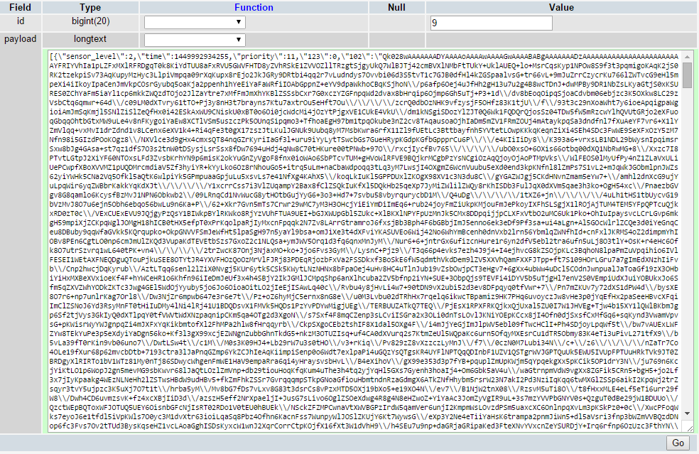
Payloads
- JSON (JavaScript Object Notation)
- Messages can be sent between a SensorDevice and SensorHub, or between a SensorHub and SensorServer
- Attributes every payload has
- Timestamp
- Sensor level (Device, Hub, Server)
- Priority (Low, Medium, High)
{"time": 1450309434, "priority": 11, "sensor_level": 1, "999": "Hello world"}
Modular Sensor System
-
Optional attributes in key -> value pairs
- Photo (111)
- GPS coordinates (121, 122)
- Plain text (999)
- Easy to add any sensor
- Attributes can be used to initiate actions
- Ask a new device what sensors it has
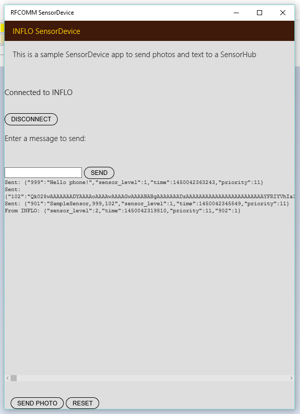
INFLO Windows Application
- Phone finds a sensor and makes initial connection
- Sends a SENSOR_PROIVDE request
- Sensor returns a SENSOR_LIST key with its sensors
- Communication over Bluetooth using RFCOMM
- Images can be sent with Base64 encoding from a specific folder
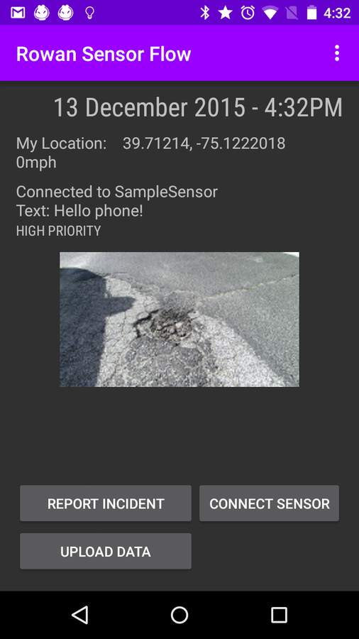
INFLO Android Application
- Sensor can send payloads with various sensor information
- Android application collects disparate data into a single payload
- Displays useful information on screen
- Buttons for important actions
- GPS data can come from dedicated sensor or Android device's GPS
Server-side Application
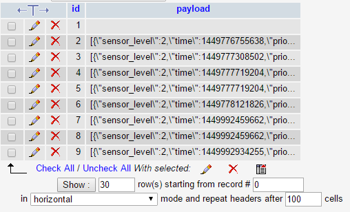
- PHP backend
- Stores payloads in a MySQL database
- Simple web API to post data
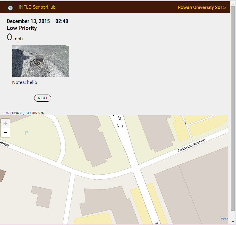
Website Frontend
- A simple website shows data from each payload
- Dynamically displays data based on payload
- Embedded map with OpenStreetMap
Next Steps
- Integrating DSRC (Dedicated short-range communication) to send data from an Android device to a server
- Continuing pothole detection system
- Photos and other data can be sent through the current communication protocol
- Continuing development of applications to meet DoT specifications
Conclusion
Today we discussed
- Using COTS (commercial off-the-shelf components) to capture pothole imagery
- Collecting pothole photos and other sensors into a centralized payload
- Storing and viewing payloads using a remote server
I want to leave you with this:
Modern camera and networking technology allow all our devices to be intelligently connected and monitored. Isn't it time for that intelligence to be applied our transportation system?
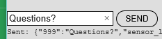
QUESTIONS?
Mobile Data Collection
By Nick Felker